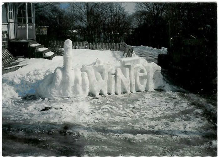
I'm going to have to go with ice on that one. At least the wind was at my back nearly as much as it was in my face.
The snowstorm they had originally forecasted for today failed to materialize, at least in our area, so I piled on the layers, filled a bottle and camelpack, and saddled up my trusty steed. The steed of choice today was my Quiring, set up in fixed gear format. My plan was to ride basically the same loop I rode last weekend. I headed out of town, and climbed the first hill on Attica Road. At the top, I turned right onto Summers Road, straight into north wind suckage... or shall I say blowage. Yup, the headwind would be with me for a while. I resolved to grunt my way into the wind, knowing it would be at my back for the return trip. Besides, Summers Road was in much better shape than last weekend, having no snow cover.
The headwind stayed with me until Lum Road, where I headed west. Crosswinds are slightly better than headwinds. Lum Road took me through Lum (don't blink... even on a bicycle), and out to Spaulding Road. A bit of a rear tire slip, and I had the sudden realization that I was riding on WHUMP ice. It was kind of neat in a way, a relatively painless landing, and a slide of about 30 feet before I came to a stop. I picked myself up, and walked the short distance back to Lum Road.
I rode back to Slattery Road, and started north. Slattery was in much better shape... to start. Sure enough, Ice, and another gravity check. I got back up, and rode/walked (mostly walked) northward, to see what Curtis road offered. Sure enough... more ice, and more ride/walk alternating. After a while, I came to Lake Pleasant Road. Paved at last. North into the wind. Heartrate at my Lactate Threshold and single digit speeds at points. I rode like this to North Branch Road, and headed west through North Branch.
Just past North Branch, I turned around and basically retraced my path. On to Lake Pleasant Road. South. With the wind. Speeds averaging 18mph, hitting well over 20 on the downhills. Spinning like mad but in a nice zone 2 endurance heart rate. Back through Lum. Down Summers Road. With the wind. Dirt roads seem rougher at 20+ than at less than 10mph.
I rolled into my driveway pretty much spent, and with just under 47 miles showing on the Edge.
 Route from Today's ride (ain't high tech GPS toys neat)
Today's elevation profile


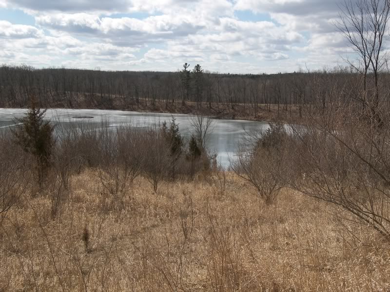
 A view from the top of a ridge.
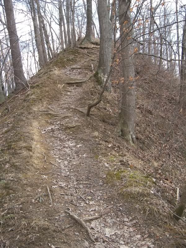
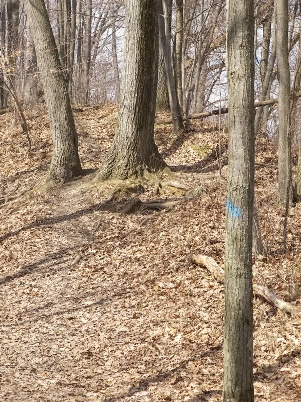
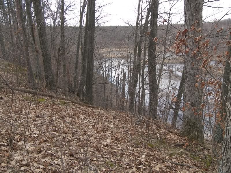
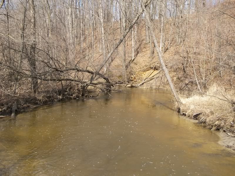
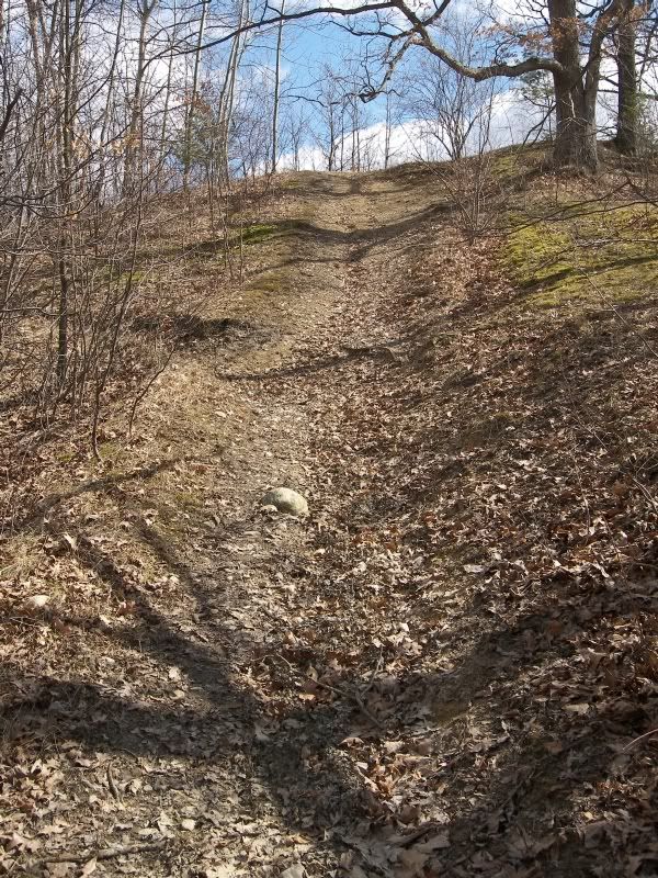 Fall line runs seem to be the norm here.
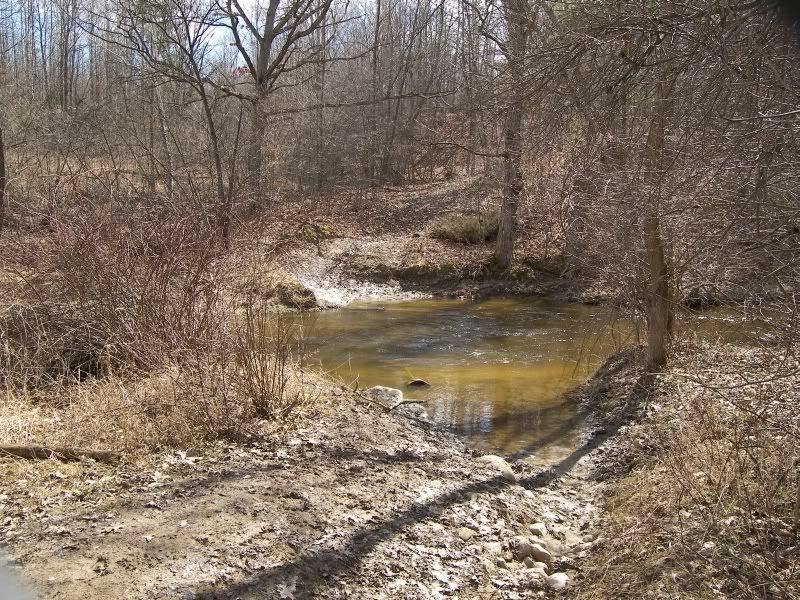 The end of the line, unless you have a horse or waders.
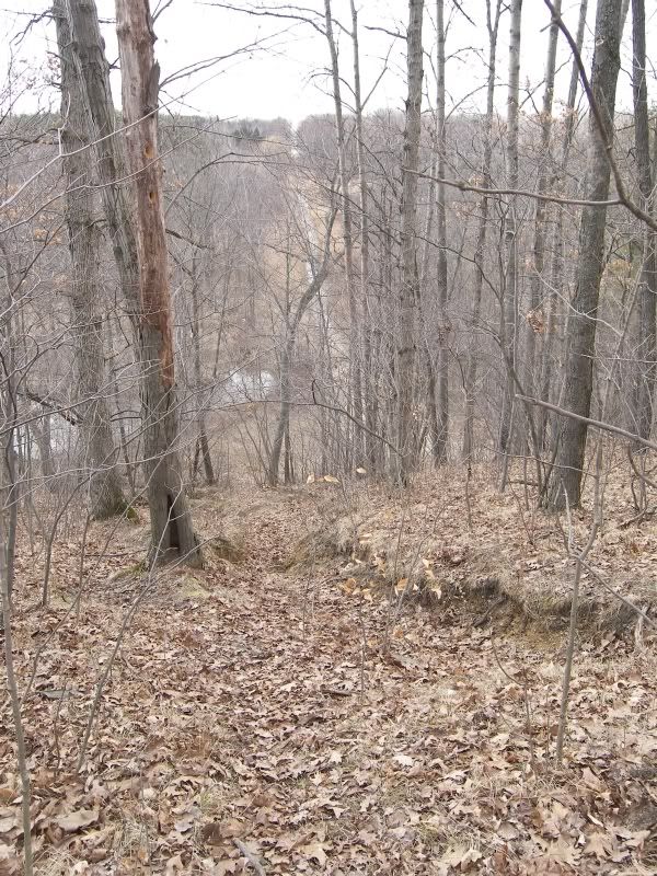
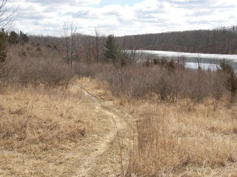
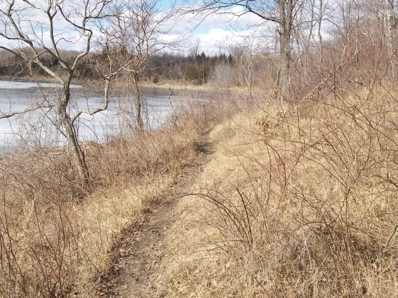 The trail next to the lake.


 Here's a photo of Steve's dash after the ride. Note the temperature of 13deg F.


 Pitching the yeast.

