Tuesday, October 30, 2007

Massive Fallout

This is how I spent my Sunday.


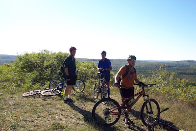
Massive Fallout Group Ride, October 28, 2007

This was a group ride that started as a brainstorm of a couple of guys that I ride with on Wednesday. They initially posted it as an informal gathering, but as interest grew, the ride grew. Word is that over 150 people total showed up for the ride. The route took us through Oakland County from Rochester up to Lake Orion/Lakeville, with options to ride the trails at Bloomer Park, Stony Creek, Bald Mountain, and Addison Oaks.

I met up with my teammates Curt, John, Mike, and Jay at the start point, the Rochester Mills Brewery. We, and a few others including another singlespeeder named Tim, set off at about 9am. As things were still damp from the day before, we elected to skip Bloomer and headed straight to Stony. This made for a nice warmup on the roads, and we hit first singletrack about 3 miles in. Stony was tacky, with some leaf cover. My Q was handling excellently, as I chased Tim through the singletrack.

We regrouped at the end of Stony's fine singletrack, ducked out the fence, and took Sheldon Road to Gunn Road to the Paint Creek Trail. The Paint Creek Trail (a rail-trail) took us towards Lake Orion, where a short singletrack connector took us out to Stony Creek Road. Here Curt and I believe Mike got seperated from the rest of us, and we headed to the main Bald Mountain trailhead at Harmon Road. We rode the entire loop of Bald Mountain North (we would later find out that Curt and Mike rode the "top" half). Bald Mountain was fun, albiet a bit greasy in parts. Just after we crossed over Harmon Road, we came to a bridge, at the bottom of a short downhill. This bridge, and basically all other wood encountered on the ride, was wet from Saturday's rain. It was here where John got a quick "reminder" that wet wood was slippery! I was right behind him, and luckily was able to stop in time to avoid him. He was ok, however he broke a rail on his saddle. He did finish the ride, although it was a bit more painful than he would've liked.

Curt and Mike were waiting at Addison when we rolled in. Regrouped, we headed out for a loop of Addison's singletrack. This trail is fast with a very good flow. Paul the trail coordinator has done an excellent job with this trail: challenging when taken at speed, and with not a lot of gratuitous things to rob you of your speed.

After Addison, discussions occurred, and Mike and Tim left while Curt, John, Jay and I decided to do a "4 Corners" loop. This is a 4 mile loop that takes you up Lake George, west on Drahner Road, south on Barr Road, and east on Indian Lake. Oh, and there is a fair bit of climbing on this section (see the segment from about mile 30 to mile 35 on the below elevation plot).

We finished up the "4 Corners", rode down Lake George, did the segment of Bald Mountain from Lake George to Harmon Road. A few miles of roads took us back to the Paint Creek Trail, which we rode back into Rochester. After 52.79 miles (by my computer), and 4 hours 10 minutes of riding time, we loaded up our bikes, changed clothes, and relaxed at the brewery with some food and a couple pints.

Curt's GPS plot of the route. He lost the data prior to Stony Creek, and took a slightly different route from me by Bald Mountain (near where the blue lines form an "X" at the top, to the right of the cluster of lakes)


Curt's GPS elevation plot.

Saturday, October 27, 2007

50 Miles on the Q

Thursday's ride put me just over 50 miles on the new bike, and I'm loving the handling so far. I still need the proper length stem, and that should put things at perfect.

Wednesday night was the weekly Stony Creek group ride. I did my usual one lap of the singletrack before heading down to meet the group. After my "pre-lap", I rode down to meet the group, where my bike had a few admirers. We did a lap of all the singletrack, all of which had to be completed with lights due to the darkness.

Thursday was the weekly www.mysinglespeed.com group ride at Pontiac Lake. Due to an off-site meeting ending early, I was actually able to make the 4:30 early lap (main lap is at 6~6:15). For the first lap, I rode with "Duke" and "Abbeytrails" (screen names). We kept to a leisurely pace, stopping fairly often. This didn't stop me from letting 'er rip on a few of the descents. Riding at PLRA reinforced the fact that the headtube angle change was the right thing to do. I was able to take some of the moderate/high speed corners with more confidence than I could with the Rig. Also, although this topic is highly debated, I am now a believer that frame material does make a difference in feeling impacts from the trail. The aluminum frame Rig felt much harsher than the titanium framed Quiring. Don't get me wrong, there is no mistaking the fact you're riding a hardtail, it's more of a dulled "thud" with the Quiring than the sharp "whack" with the Rig.

I rode the 2nd lap with "Gearless" and "Gears What Gears", and the pace quickened up quite a bit (Gearless is quite fast). We also stopped less frequently and for shorter durations. At one of our usual stopping points, the Campground Road crossing about 4 miles in, we bumped into a beginner who had probably one of the best attitudes about riding that I've seen in a while. She was waiting while her husband went to get their truck. It was starting to get dark, they had no lights with them, and the first 4 miles took it's toll on her. Although beaten by the trail this time, she stated that she needed to come back so she could finish it. The 3 of us all felt that this woman would be riding for quite some time to come.

We had to turn our lights on about 2/3 of the way through the trail, and finished by the glow off our helmets and the nearly full moon. My first experience riding PLRA at night.

Two great rides in two days with two great groups, loving the way your new bike handles, life is good.

Tuesday, October 23, 2007

Quiring - Built and Ridden

Saturday, my new Quiring got built up into a proper bicycle. A big thanks to the Bicycle and Fitness Barn in Port Huron for work on the build, and my teammate Lee for loaning me the stem (bleeping Bontrager "non-square" stem causing the headset race to not want to sit square).

Yesterday late afternoon I took the Q for her maiden voyage. I went to Stony, since I tend to put in most of my miles there.Overall, I was very impressed with the handling. Steepening up the headtube angle from that of the Rig made a big difference. The Rig wanted to fight me when things got twisty: the Q wants to find the line quickly and hold it. Also during climbing, the Q seemed to track much straighter; the Rig wanted to wander. I didn't see any issues with tracking at higher speeds. A few tweaks still need to be made, mainly fine-tuning of saddle position and a new stem. The borrowed stem is longer (by 20mm) and shallower (by 5deg) than my Bontrager stem. Based on the maiden voyage, I will be going back to my original stem length and angle.


Side view

Profile view

Chris King / Quiring Cycles money shot

Mandatory drivetrain shot. Surly cog to replace cheap Shitmano BMX cog coming soon.

Thomson seatpost porn.

Thursday, October 18, 2007

New Frame

My new frame arrived yesterday. Just over 7 weeks from deposit to delivery. The workmanship is excellent, and if it rides even half as nice as it looks, I'll be very happy. Scott was great to deal with, promptly returning my calls and answering emails. He is very knowledgeable about bikes, and willing to work with the customer to give them what they want.


So here she is: 3 3/4 lbs of beautifully welded together polished titanium. Singlespeed only, Paragon sliding drops, built around a Rock Shox Reba fork, geometrically similar to my Rig but with the headtube angle steepened by a degree. The build-up will take place over the weekend, and "first dirt" should be seen on Monday.

Photos courtesy of Scott Quiring.


Overall view

Closeup of the downtube logo


Bottom bracket - no creaky eccentric here!

Downtube logo

Friday, September 28, 2007

Stupid Pet Tricks

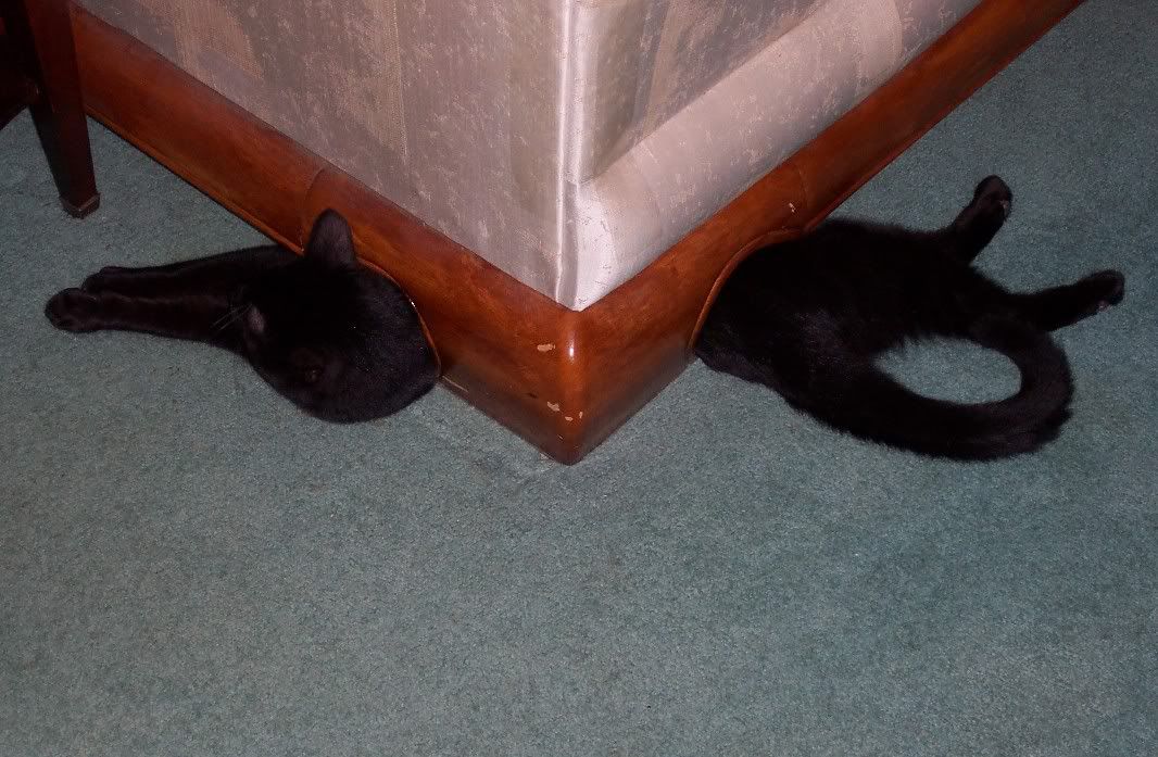
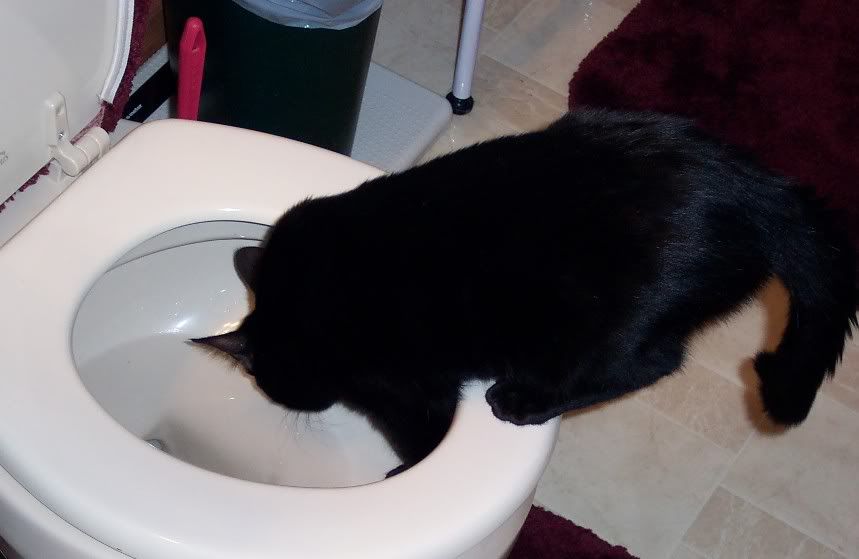
A couple photos of our "special" cat Onyx, taken a few years ago.
Which half do you want?

I'm thirsty.

Monday, September 24, 2007

The Blue Dots - Part 2

Friday night was spent sitting around a fire, enjoying a few tasty beverages, and sharing stories of riding. Stories from High Country Pathway rides past floated around.


Everyone woke up Saturday morning, and got ready for the day's ride. Cars were loaded with food and water, and would be staged at a couple points along the route. Riding attire was donned. Last minute adjustments were made to bikes, which were then loaded into/onto cars, and we caravaned out to Osmun Road.


Jeff making last minute adjustments. Little did he know that he would be finishing the ride short a few gears.


Unloading at Osmun Road.

From Osmun Road, we headed west for a stretch before the trail turned to the south. Things were tight in stretches here, and there was the occasional boardwalk and wet root cluster to keep you thinking (or walking).

A stretch of boardwalk gets ridden.


Leafs over wet roots had us walking this stretch.

We continued along through a flat section for a couple of miles. Things opened up and became more rolling after a while. We had the occasional log down to ride over, some ferny sections, a bit of hardwood, and the occasional missed blue dot (doh!)
Nice stretch of singletrack.


We went down this little hill.

Through a series of rolling hills, we gradually climbed until we came to this overlook. Here was a good spot for everyone to regroup before continuing on.

Tom gives a thumbs-up at the overlook.

From here we rode along a ridge and past the Pine Grove State Forest campground. We eventually came to another overlook, where the group stopped to have a bite to eat.


Emerging from the woods approaching the overlook.


Milling about up top.


Looking out from up top.

Time to change color yet?

After refueling our bodies, we enjoyed a series of fast downhills through a couple fields before heading into the woods again. Once back in the woods, we went through a series of hills. One in particular was of the "you have got to be kidding me" variety.

Rooty, steep, and long meant that we were climbing this one on foot.

The top of that climb brought us to the Shingle Mill Pathway, which we rode for about 6 miles. The Shingle Mill Pathway is actually a series of loops (we rode the western side) that is used as a cross country ski trail in the winter. This meant things were open and fast for 6 miles. This started with a screaming downhill which had us well in excess of 20mph (approaching 30mph at one point). We then rode through some swampy lowland, complete with a long, but thankfully wide boardwalk. We had a couple of short climbs, and ended the Shingle Mill portion at the parking lot near the Pigeon Bridge Campground (regretfully closed this summer due to DNR budget cuts). Here was the spot of the first car, and we took a nice break to eat, stretch, and refill hydration packs.

Boardwalk on the Shingle Mill

Me at Pigeon Bridge. This is where my ride ended during the summer ride (going the other direction).

We left Pigeon Bridge and rode through an open stretch of forest. The trail had a great flow, and some good hills to go down or grunt up. A general uphill trend took us to the location of an old fire tower. The fire tower is gone, but if you search around you will find parts of the old foundation.

At the fire tower site, a good spot to regroup.

From the fire tower, we descended for a bit, climbed a bit, rode a ridge line stretch, and then descended into the swamps again. Here were more boardwalks... a bunch of them. There was one long one which I rode this time. An accomplishment, as I walked the entire couple hundred yards of it in the summer. There was then a few short sections of boardwalk, and a really gnarled section of roots. On one of these boardwalks I went down, HARD. I got some speed, lifted my front wheel to set it on the boardwalk, didn't get my wheel high enough... bike stopped... I didn't! A handlebar/thigh meeting gave me the mother of all charlie horses, and this would twinge when I would pedal (or push my bike). After sitting for a few, I got back on the bike, determined not to let this stop me.

We climbed out of the lowlands, and rode some miles through a stretch of trail that had an excellent flow. This went on for a few miles, until we were spit out onto County Road 622. Here was the second car where we rested, refueled, and prepared for the ride (hike) up Rattlesnake Hill. The climb up Rattlesnake Hill is another of the "you gotta be s^*#ing me" variety. Long, steep at parts, with a loose slope filled with gravel and baby head sized rocks to finish things up. Yep, hike-a-bike fore sure!

Me atop Rattlesnake Hill. You can see for about 20 miles, especially when it's as clear as it was for this ride.

Some of the group on top of Rattlesnake Hill.

We were treated to some fast, and perhaps the hairiest, downhills of the day coming off Rattlesnake Hill. Things became flatter, we had a section through some ferns, another tangle of unrideable boardwalks and roots, some sweet singletrack, before we were ultimately dumped out onto 622 again. Here the crew voted, and we elected to forgo the last couple of miles crossing over M33, instead electing to take the back way into the park. We were getting pretty whupped by this point, and showers, beer, hot food, and stories around the campfire awaited.

Was it a good ride... no, it was a GREAT ride. Was it easy... hell no! Will I be back... hell yeah!

Sunday, September 23, 2007

The Blue Dots - Part 1

Back in June, I fell in love with a trail. The High Country Pathway to be exact. This trail is located north of Atlanta MI, is 80 miles in length, and has been declared an "Epic Ride" by the International Mountain Bike Association. The trail conquered me after only 28.5 miles in June. I learned a valuable lesson related to growlers of Docs ESB and bottles of Oberon on the eve of a long ride, and vowed to return.

Friday

I took a vacation day on Friday, left home before 10am, and had camp set up by 3. Looking for a way to enjoy a couple hours, I loaded up my camelpack, got changed, and set out riding. I chose to ride the section from the campground (Clear Lake State Park) up to Tomahawk Lake, east of M33. A gradual downslope took me out of the park, across M33, and after a left at the fork, I was headed North.

The first section was a series of climbs, perfectly makeable in my 36:20 gearing, that led to a little overlook.

At the top of this little section looking back.

About the post title "The Blue Dots": this trail is blazed by a series of blue dots. No blue dots - you're lost. Note the blue dot above my bike in the proceeding photo.

For the climbing, I was rewarded with a couple of fast decents, followed by a couple little climbs. The trail popped out onto a logging road, which I took to the left for about a hundred yards... no blue dots. Turn around, backtrack, and there less than 20 feet to the right of where I emerged onto the logging road... a blue dot. OK, back on track, and this diversion only cost a couple minutes.

Here, the trail ran through the lowlands, and followed a very old railroad grade. Here was also the first section of boardwalk I'd encounter this weekend.

Reads: "Note the vegitative changes caused by the railroad grade built in 1895.

Boardwalks: I rode this stretch, rode a few others, and walked some.

The trail opened up some after the RR grade, and I passed the location of the logging town of McPhee.
Things stayed open for a while, passing through a stand of jack pine. After this stretch, things got very thick and overgrown for a bit over a mile.


There is a trail here amongst these ferns, trust me.

This led to a clearcut, more trail through a pine stand, and then a slightly rolling section as I approached the Tomahawk Creek Flooding, a very scenic lake.


On the edge of a clearcut. Very rough trail surface through here.

The trail ran along a low ridge on the east side of the flooding. Very nice riding here; smooth, no face-slappers, good flow.


Tomahawk Creek Flooding.


A small but well placed stump played "photographer for this shot of me with the flooding in the background.

After this point, the trail ran through a long clearcut, picked up a dirt/sand road for a quarter mile, and went through a more open stretch of woods. Eventually I came to Tomahawk Lake Road, which I took to M33. M33 brought me south back to camp, through perhaps the worst stretch of the ride: road, southbound, and into a fairly strong south wind.

When I arrived at camp, others had shown up and set up tents. I took a quick shower, and spent the evening hanging out by the fire in preparation for the main ride the next day, the HCP Fall Fun 50.

To Be Continued...

Here is a map of the trail for your reference. Clear Lake State Park is located in the southeast portion, near where the trail crosses M33. Friday's ride took me up to Tomahawk Lake Road, in the northeast portion. The "Fall Fun 50" begins where the trail crosses Osmun Road, in the northeast portion, and we ride counterclockwise back to the campground.